
Erica
Gunaikurnai
Quick info:
In a Nutshell:
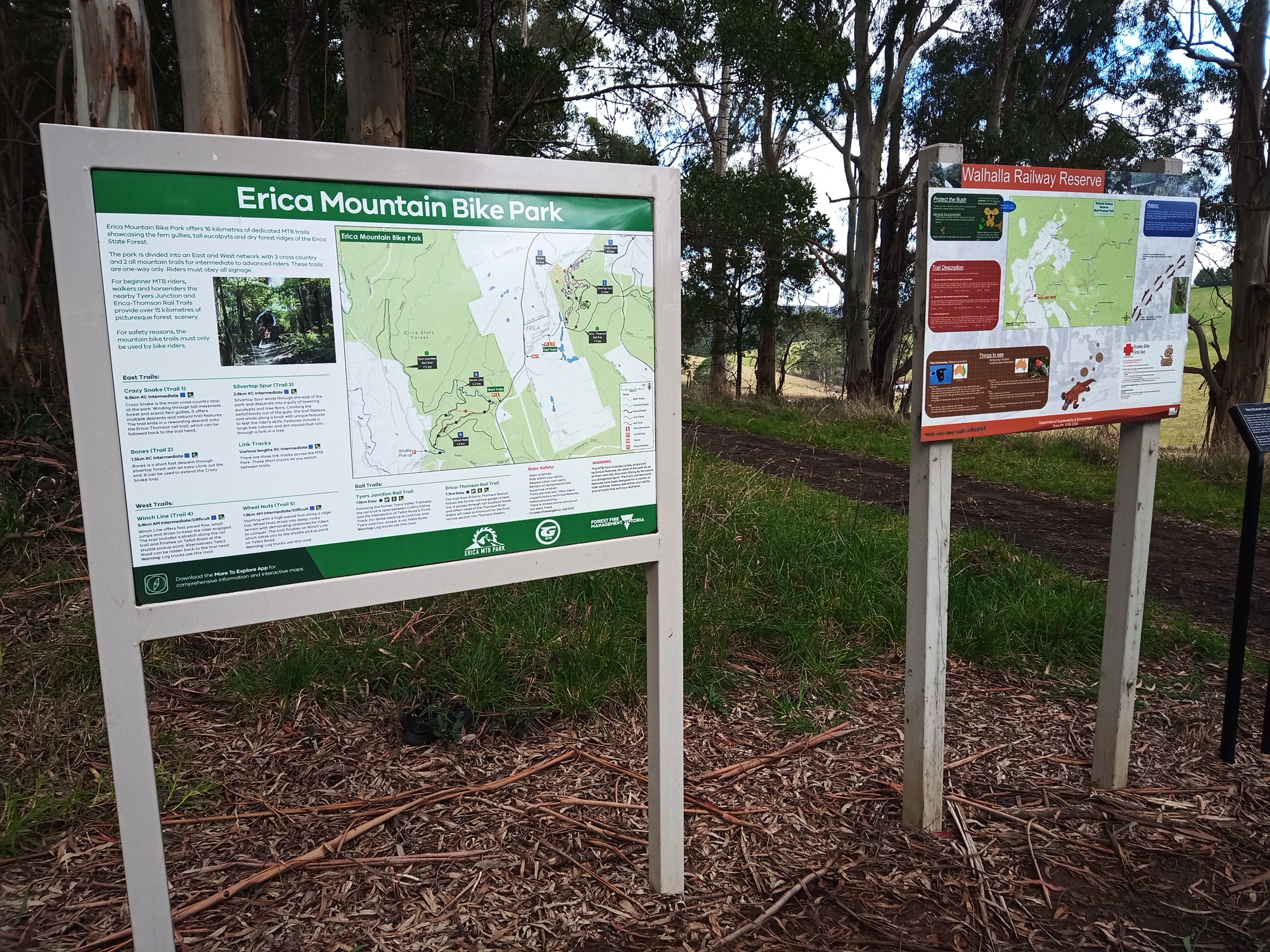
- Around 15 km of waymarked trails.
- Handcut trails set in two areas: 9 km of playful XC in lush forest at the East Trailhead, and 6 km of fast and fun gravity at the West Trailhead.
- Intermediate and advanced singletrack trails only, but nearby railtrails for families.
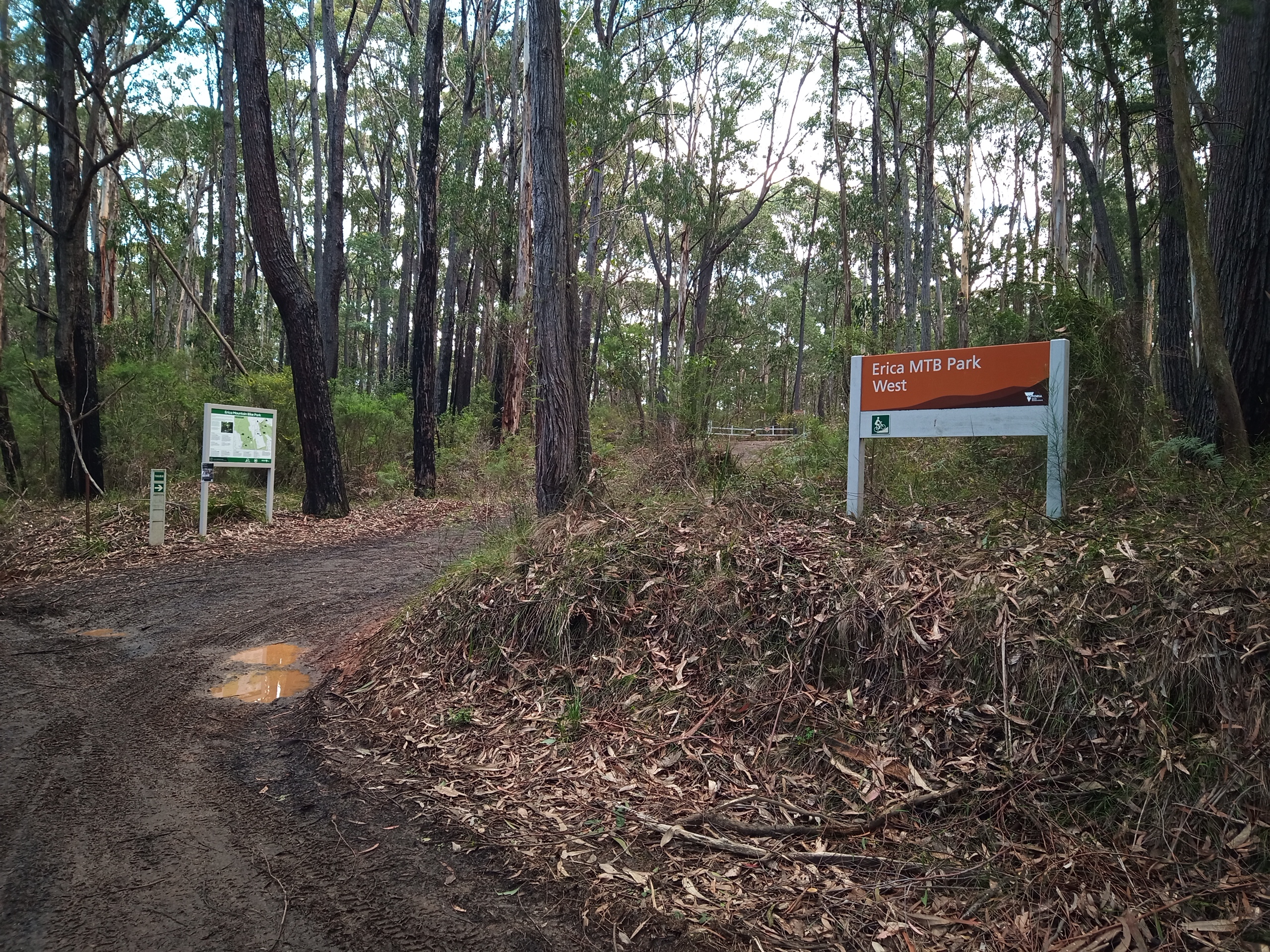
- Facilities at the trailheads are limited, but they are both just on the edge of town.
- Run the gravity trails with a self or organised shuttle as the climb back up is long or steep.
Network size:
15 km waymarked tracks
Our rating:
3/5 MTB Fist Bumps
Facilities:
Other facilities and toilets in town
Trail difficulty:

Intermediates are fairly tame though
Suits riders:

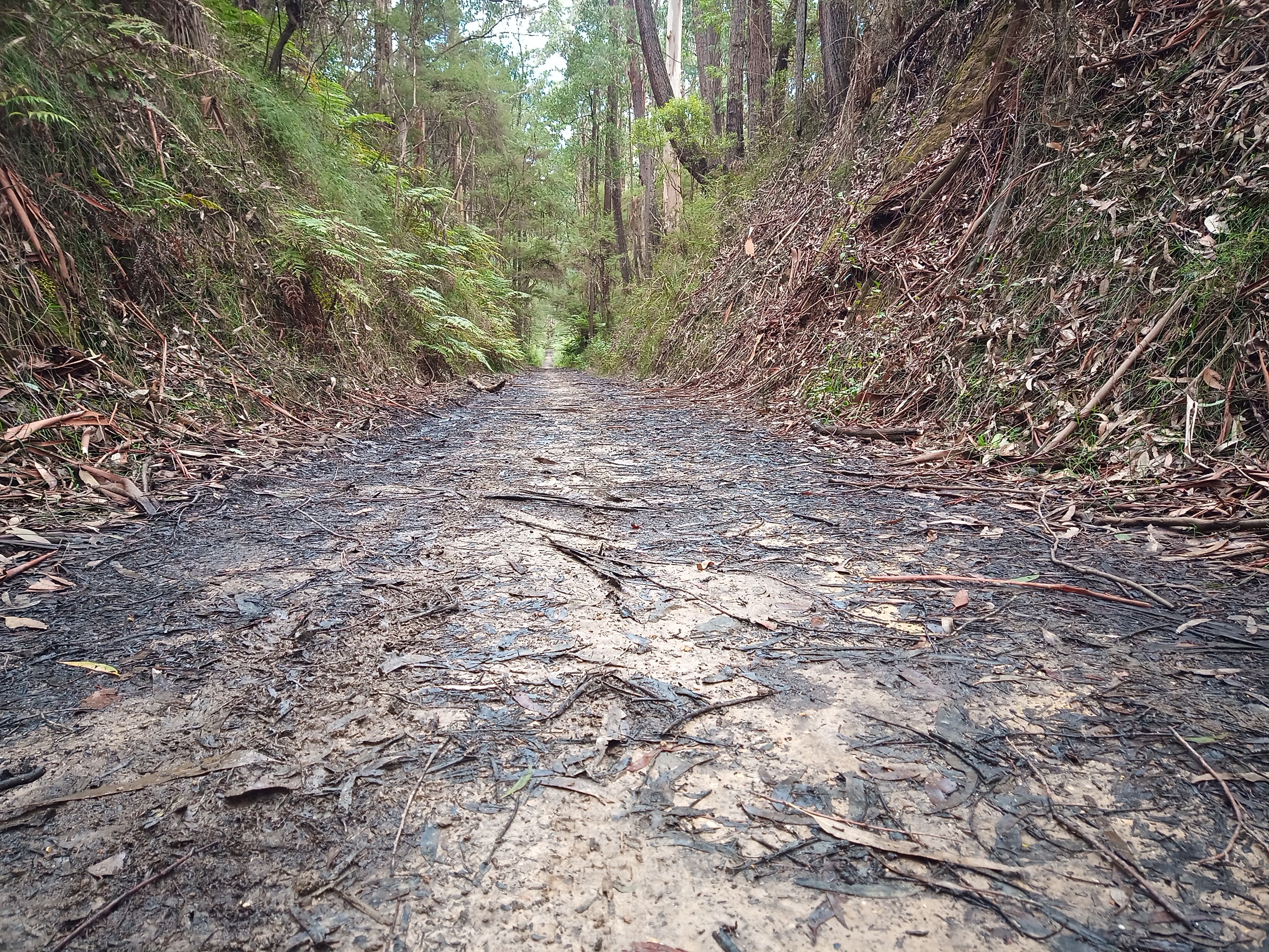
Nearby rail trails OK for beginners
Bike chooser:

Enduro and DH in west with shuttles
Trail maps:
- No offline map available
Local clubs:
Shuttles:
Where is it?
By car:
About 2 hours 20 minutes east of Melbourne on the M1/C466
By PT:
Not good news. The best you’re going to get is a V/Line train to Moe, then is Taxi/Uber/hitching or riding the 35 km to Erica from there.
Description:
Erica MTB park is a tale of two halves, with 9 km XC trails at one trailhead and two gravity trails at the other. The XC is mostly natural hand cut with some berms, jumps and features as it weaves up and down through the lush forest. The gravity trails are fast and flowing with some moderate drops, gaps and jumps to keep you on your toes.
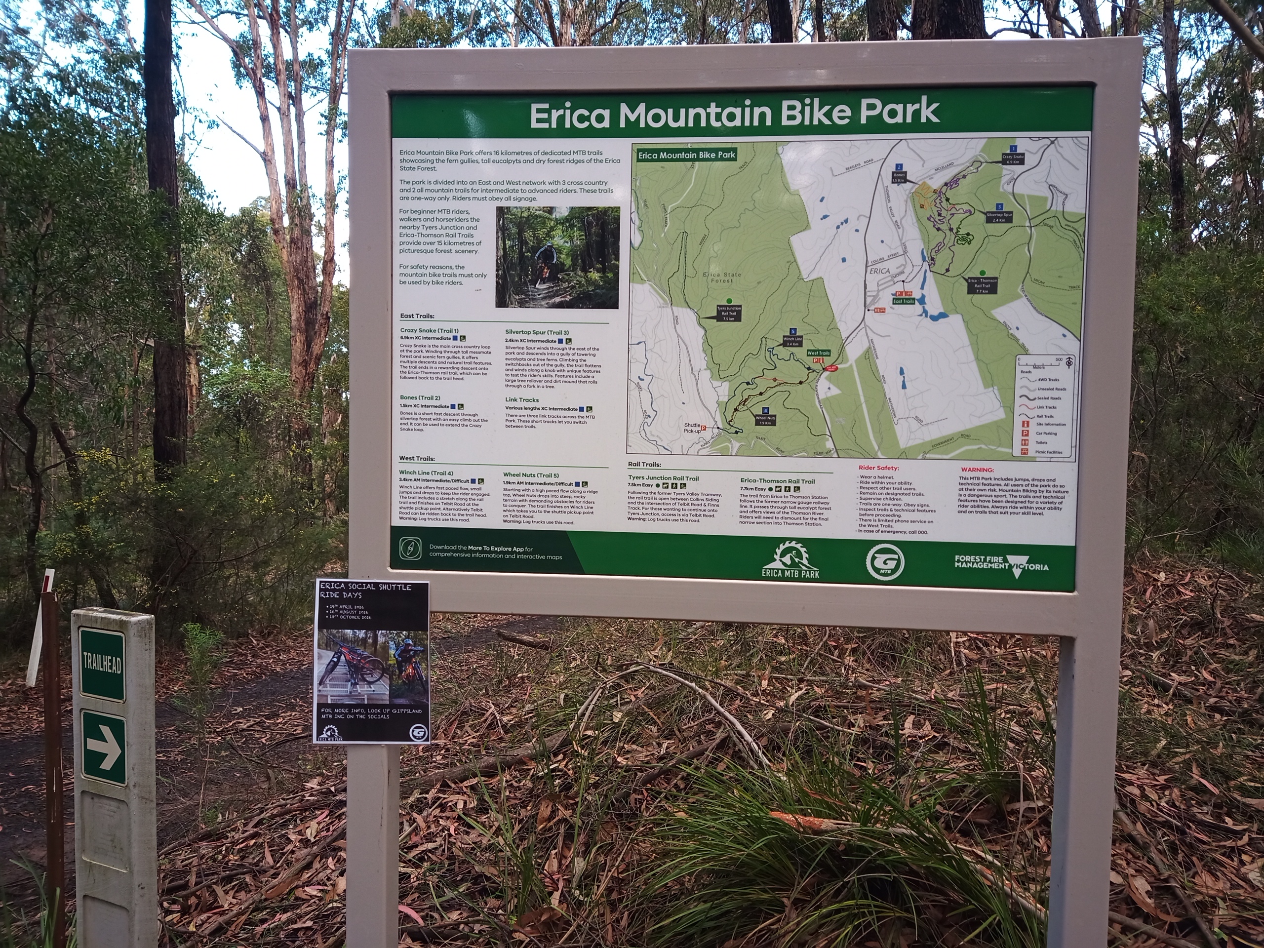
Erica MTB Park is nestled in the dense forest of the foothills of the Victorian Alps. The twin trail centres cater for most types of riding, and there is also the nearby rail trails of the singletrack doesn’t appeal.
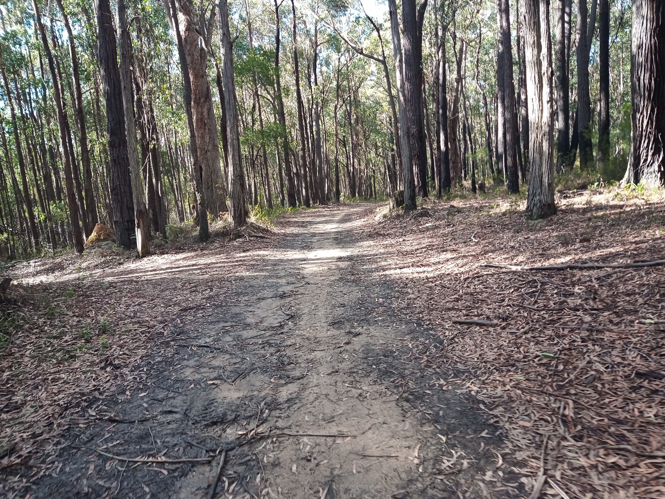
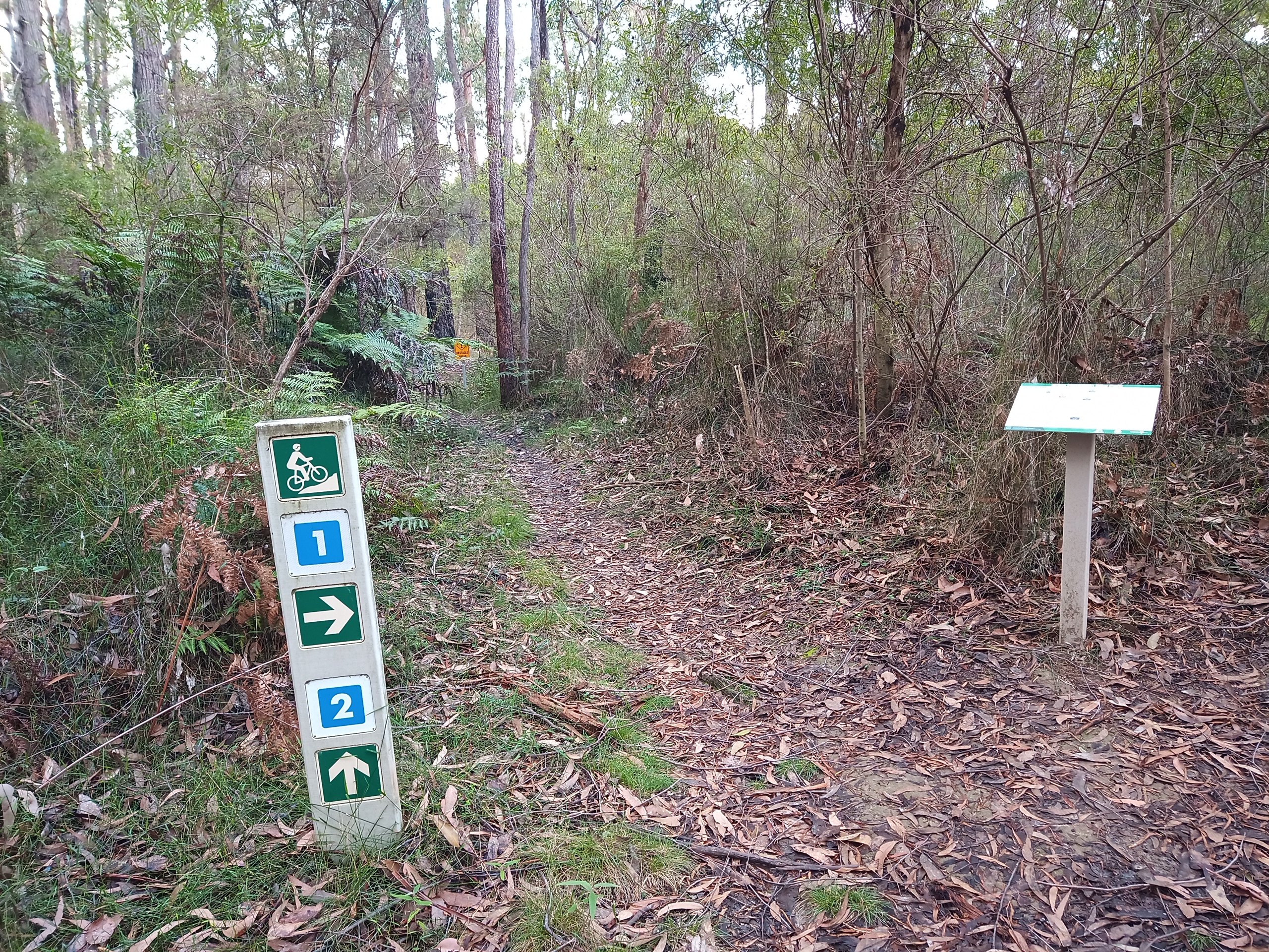
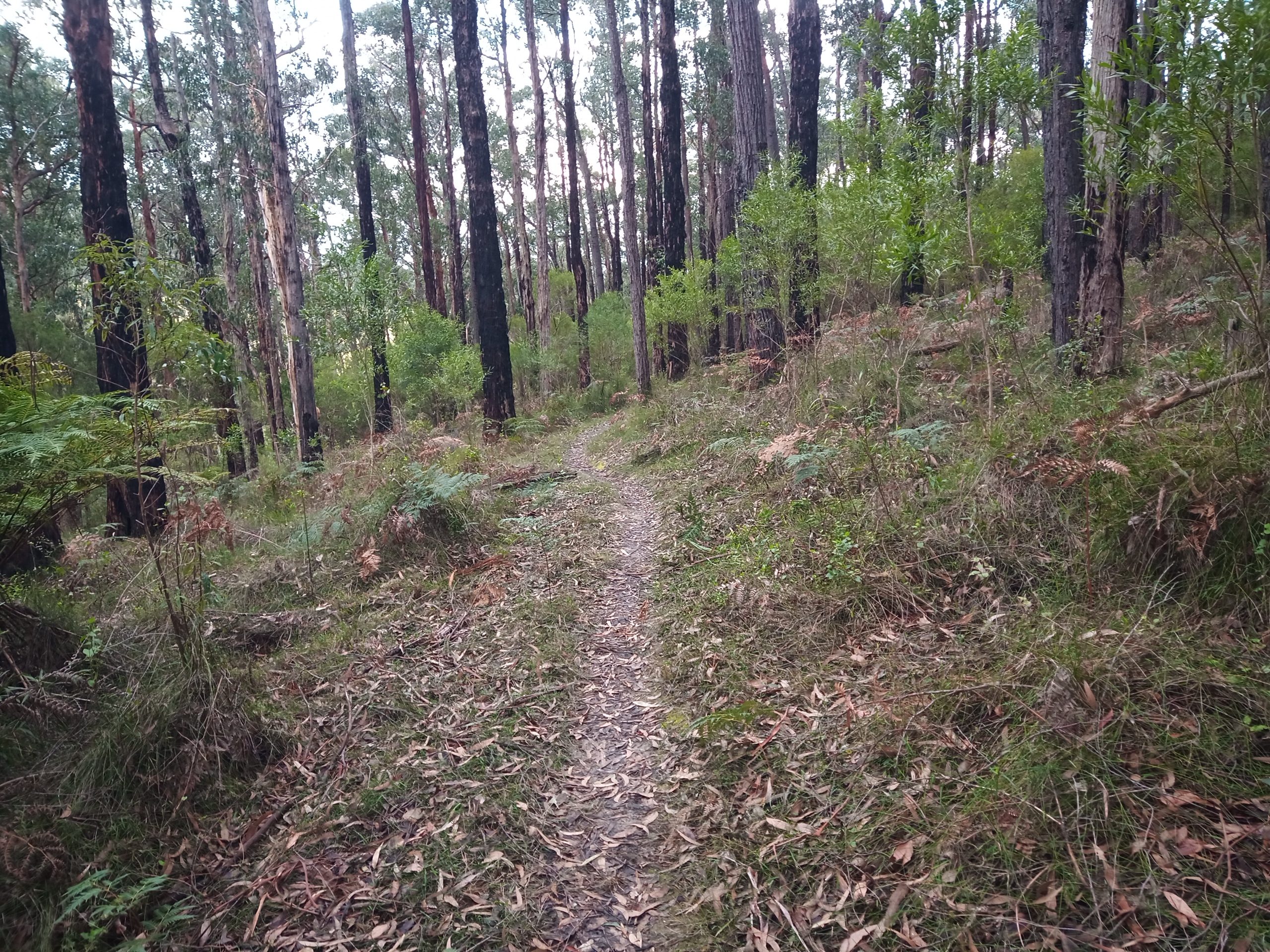
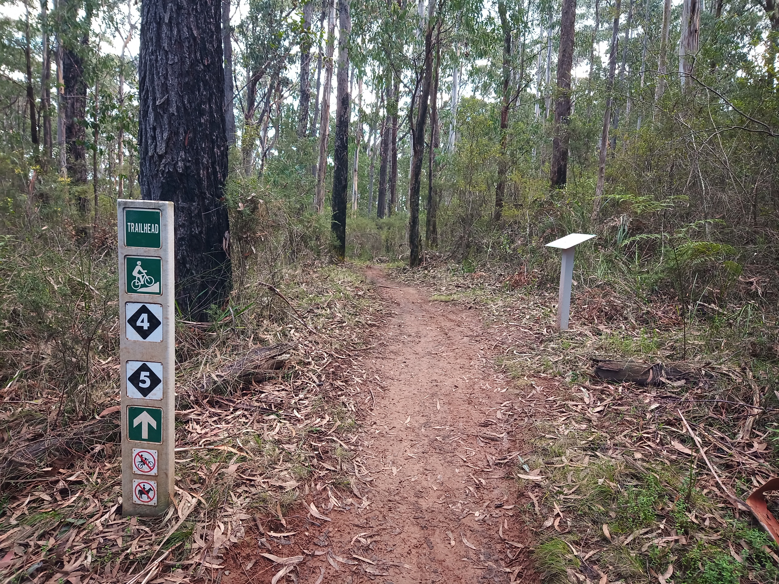
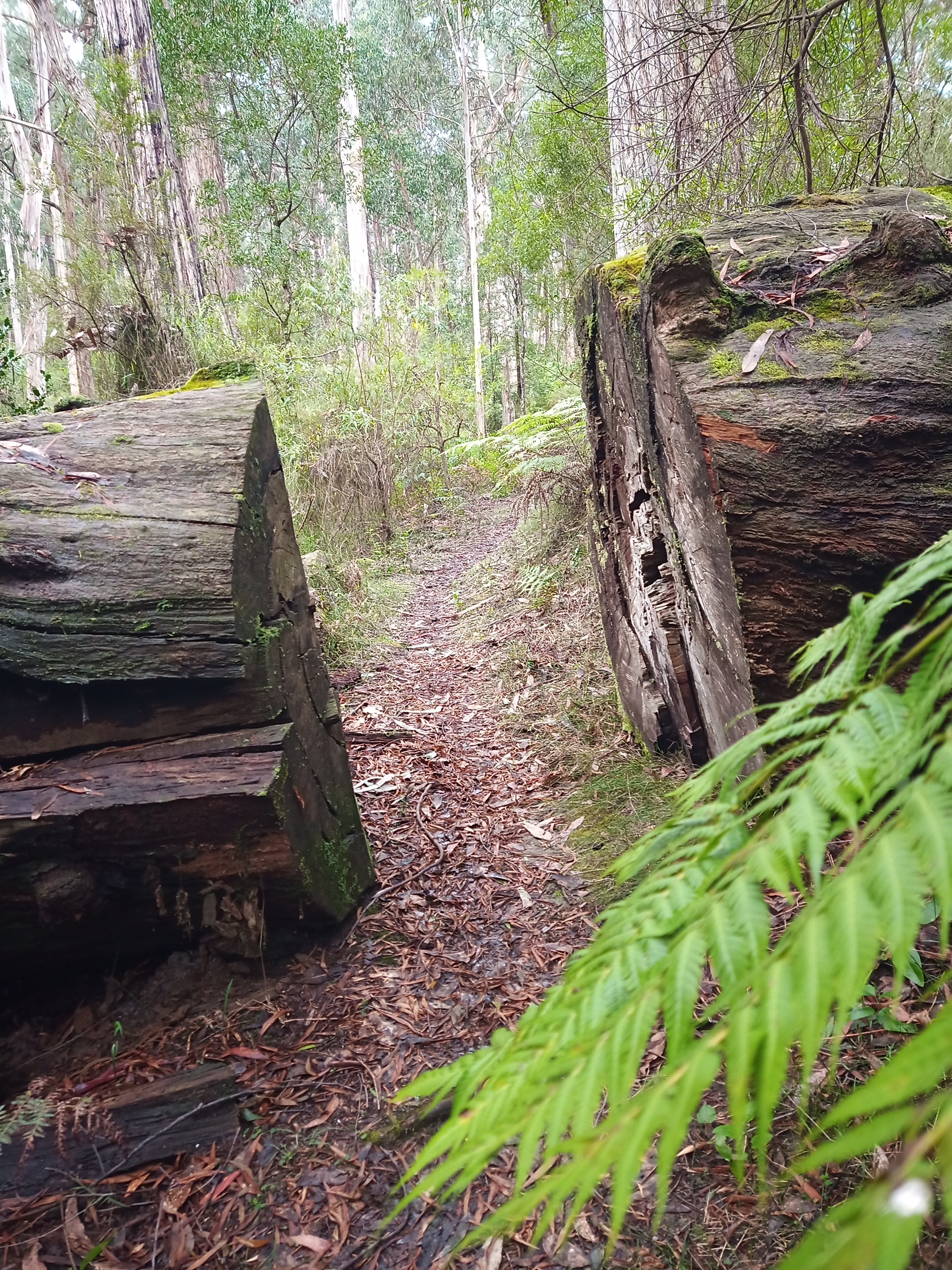
And the singletrack is what Erica is all about. Over in the East, it’s an old school frenzy of narrow intermediate level tracks weaving between the trees, ferns, and fern trees. The surface is sometimes hard to determine due to the shedded gum tree bark and the relatively low number of wheels, but it all adds to the nature experience: you really feel like you’re out in the remote bush. The trails are thoughtfully laid out, using the elevation to provide a lot of fun without too much climbing, and the descents traverse the hill to get lots of downtime. There are some small natural and man-made features, but really it’s all about the natural trails.
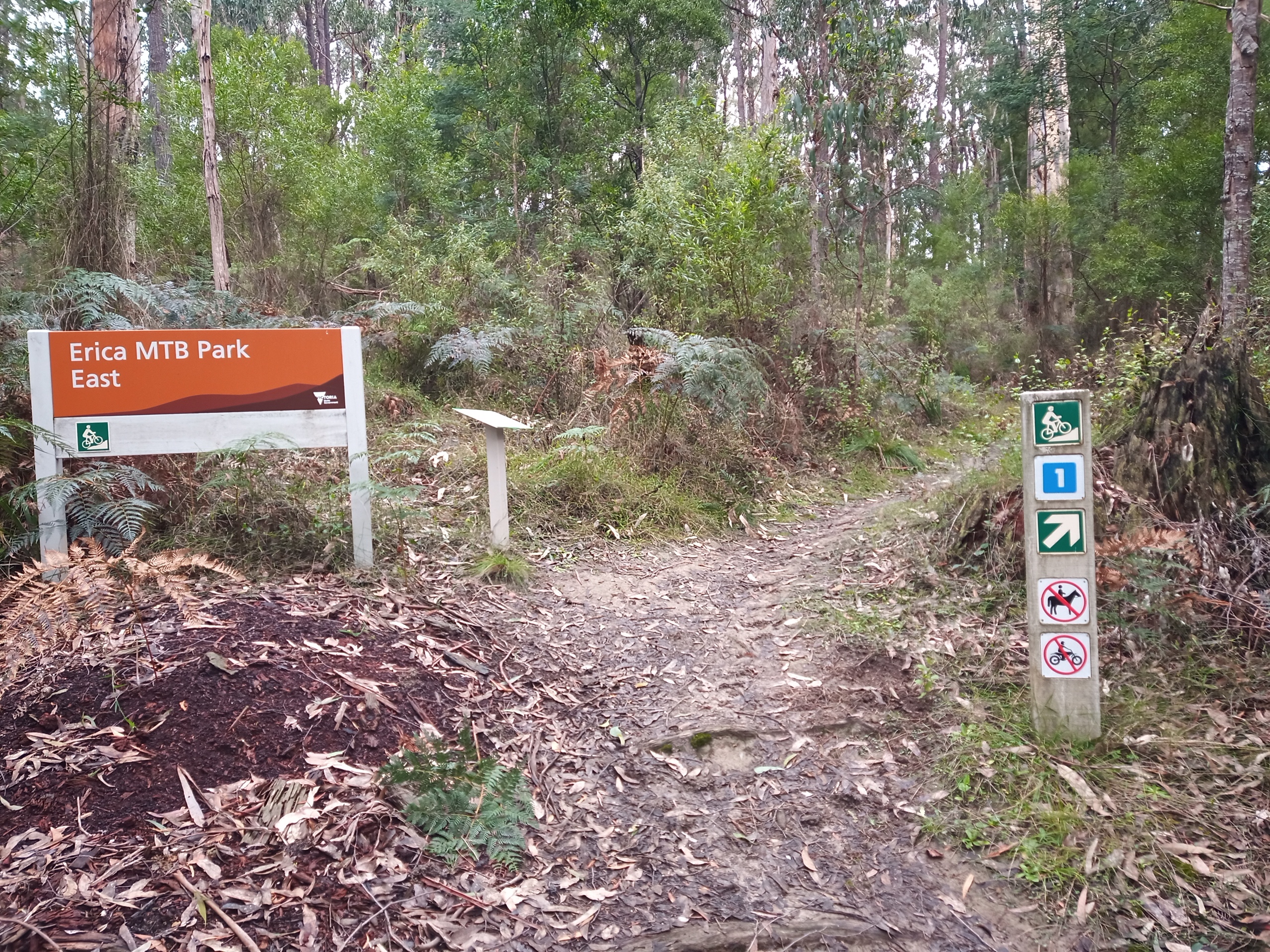
Wayfinding is easy, despite the remote feeling. Tracks are marked clearly and there are maps at every junction so you can see where you are. This makes the experience much more enjoyable as there’s never any doubt as to your location.
Over to the West of the town, you get the same navigational assistance, but the trails are quite different. Aimed at the gravity crew, the two advanced rated descents are fast and flowing singletrack, zig-zagging down the steep hills generating grins at every turn and rooty section. They still have a great natural feeling, requiring that you ride the surface as well as the hill, but include a few drops, jumps, gaps and berms to pep things up. All these features have B-lines, but one or two of the gaps are not rollable, so take a recce before you commit to a run. Definitely worth a few runs anyway to get the best out of these awesome trails.
Once at the bottom of the hill that massive smile will be wiped out by the return trip up the hill – unless you’ve booked in to one of the Gippsland MTB shuttle days or have suckered your mum into being the shuttle jockey for the day. There’s two ways up: the Telecom track is the most direct but is difficult to even walk up; or it’s around the road which is a longer slightly less steep way back.
Although the network is small, it punches above its weight in terms of what it delivers and is a refreshing change from machine cut highways. Definitely worth a visit.
Page last updated: 9/8/26